A new map traces the sky’s water highways
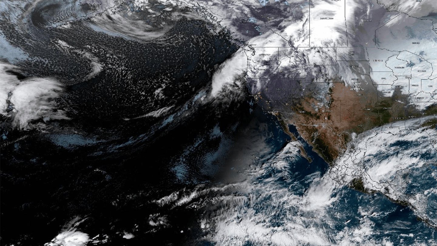
A new global map shows how gigantic bands of water vapor travel along networks of interconnected highways in the sky.
When these atmospheric rivers make landfall, they can cause floods, blizzards, landslides and even heat waves. But their timing and intensity can be hard to predict. The first detailed network of atmospheric rivers spanning the globe might help change that, researchers report June 12 in Earth System Dynamics.
Although the map is not ready as a forecasting tool, it has revealed previously unknown locales where the rivers intensify by drawing moisture as they travel a few kilometers above Earth’s surface. One such fueling station, the east coast of Australia, would not have been picked up by normal mapping methods, says atmospheric scientist Kimberley Reid, who wasn’t involved in the study. Some of Australia’s worst floods have been associated with atmospheric rivers, says Reid, of the University of Melbourne.
From the ground, atmospheric rivers might look like endless gray skies. But they extend far beyond the horizon, averaging about 2,000 kilometers long and 500 kilometers wide, and carry about the same amount of water that pours out of the Amazon River’s mouth. Though they sometimes inundate places like the western United States and Portugal, if they do not pass by, it can mean drought. Previous attempts to map atmospheric rivers of the world have been patchy, stopping at the point when they weaken by dumping rain and snow.
Tobias Braun, a physicist at the Potsdam Institute for Climate Impact Research in Germany, wanted to follow them across the whole world.
With colleagues, Braun first compiled a catalog of atmospheric river tracks going back to 1940. To make the map, he adapted ideas from the branch of mathematics known as graph theory, which mobile phones use to find the shortest path between two points. The research team split up the globe into thousands of hexagonal grids and counted every time an atmospheric river passed between two hexagons. As they followed the paths of all rivers in their catalog, the scientists built something like a road network, with major intersections, highways and interconnected regions.
Some bits of this network — where atmospheric rivers crisscross the Atlantic, Pacific and Indian oceans — are already well known, which told the researchers their method works. It also revealed hot spots that have previously received little to no attention. These include tangles of interconnected atmospheric river tracks in the Middle East and the Mediterranean Sea, and fueling stations in central Asia and the southern tip of South Africa.
A flood in Europe is the “downstream end of a pathway we can follow back across the Atlantic,” Braun says. “If you know the highways and how they shift with the seasons and with other important climate oscillations, like an El Niño, you have strong evidence on where an atmospheric river may be heading.”
Atmospheric rivers may deviate from the paths described in the study and those paths are likely to change as the planet warms, Reid says. But this approach, she says, shows their typical journey and where they grow and decay, anticipating a future where “we can better predict and prepare for these extreme events.”