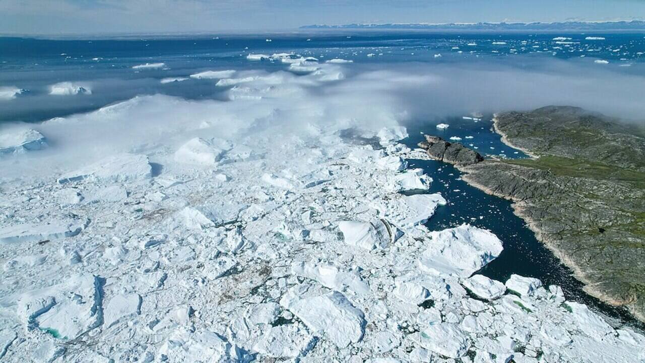
Greenland is being swarmed by autonomous drones and underwater robots as scientists race to answer one question: How close is Earth to a climate tipping point? |
Self-driving drones, robotic boats, and underwater vessels will be sent to Greenland to find the answer to one of the most important questions in the realm of climate science: how far are we from crossing the climate tipping point on our planet? In this expedition, scientists hope to collect data from some of the world’s most difficult glaciers, improve sea-level projections and assess whether major ocean circulation systems are changing irreversibly.The project, called GIANT (Greenland Ice Sheet to Atlantic Tipping Points from Ice Loss), uses artificial intelligence, drones, autonomous underwater vehicles and ocean sensors to study how Greenland’s glaciers are melting where they meet the ocean, a difficult area to observe because of its treacherous conditions.Greenland’s ice sheet, the second largest on Earth after Antarctica, stores enough frozen water to raise global sea levels by about seven metres if it were to melt completely. While such a scenario would unfold over centuries or millennia, accelerating ice loss is already contributing to rising sea levels and may eventually disrupt the Atlantic Meridional Overturning Circulation (AMOC), a major ocean current system that helps regulate global climate.Robots venture where humans cannotScientists have long relied on satellites to monitor Greenland’s changing ice sheet, but many of the most important processes occur beneath floating glaciers and inside deep fjords, where warm ocean water erodes ice from below. These regions are too dangerous and inaccessible for conventional research vessels or field teams to reach safely.The GIANT expedition seeks to overcome these limitations by deploying a coordinated network of autonomous technologies. Rugged aerial drones will fly close to glacier fronts to create high-resolution maps of cracks, ice cliffs and surface changes. Small robotic boats and underwater vehicles will travel beneath floating ice to measure ocean temperature, salinity and underwater melting, while helicopter-deployed sensors will embed themselves in glacier surfaces to continuously track ice movement using GPS.Artificial intelligence will help guide parts of the mission. Rather than follow fixed routes, some robotic systems will analyse incoming data in real time and decide where additional measurements are needed, helping scientists investigate rapidly changing features that satellites may overlook. Researchers suggest that this adaptive approach will produce the most detailed picture yet of the interactions between glaciers and the surrounding ocean. According to the research team, many of these robotic technologies are still experimental and will be refined during the expedition. If successful, the deployment could change how scientists study extreme environments that are difficult for humans to access safely.Why Greenland’s melting ice matters worldwideScientists are particularly concerned about what happens where glaciers meet the ocean. Warm seawater melts glaciers from below, weakening them and accelerating the flow of ice into the sea. However, these processes remain poorly represented in current climate models because direct observations are scarce.According to the British Antarctic Survey, the new measurements collected by GIANT are expected to fill these knowledge gaps, helping researchers better understand how glaciers respond to warming oceans and how quickly ice loss could accelerate in coming decades. More accurate models will improve projections of future sea-level rise, giving governments and coastal communities better information for climate adaptation and infrastructure planning. Another aim of this project is to address the problem of climate tipping points, those moments when nature experiences abrupt and perhaps irreversible changes. Of particular concern is that freshwater from melting Greenland glaciers could affect the AMOC, influencing weather in Europe, North America and beyond. Another aim of this project is to address the problem of climate tipping points – those moments when nature experiences abrupt and perhaps irreversible changes. Of particular concern is the fact that continuing addition of fresh water coming from the melting glaciers of Greenland will affect the functioning of the AMOC system, influencing weather conditions in Europe, North America and around the world. Early detection of signs of this phenomenon has now become an important task for climatologists.
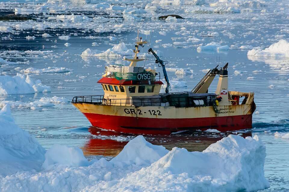
Research vessels navigate Greenland’s ice-filled waters as scientists deploy autonomous technologies to study glacier melt and assess the risk of climate tipping points. Image Credits: Wikimedia Commons
Research could improve climate forecasts and early warning systems.Beyond mapping Greenland’s glaciers, the expedition aims to transform how scientists predict future climate change. The airborne, marine and underwater observations will be integrated into computer models that simulate glacier behaviour and ocean circulation more accurately.The findings build on earlier research by UCLA, which demonstrated that drone-based observations could significantly improve measurements of Greenland’s melting glaciers and strengthen predictions of future sea-level rise. By expanding these observations with autonomous robots operating above, below, and around the ice, scientists hope to capture processes that satellites alone cannot detect. The project also complements recent satellite research by NASA, which produced the first combined measurements of changes in Greenland’s ice-sheet thickness using radar and laser altimeters. Together, these efforts are creating an increasingly comprehensive picture of how the Arctic is responding to climate change. As global temperatures continue to rise, researchers say understanding Greenland’s rapidly changing glaciers has become increasingly urgent. The data gathered by this robotic fleet could help scientists identify whether the climate system is approaching dangerous thresholds, offering governments valuable time to prepare for future impacts. While the mission may not answer every question about Earth’s climate future, it is one of the most advanced efforts to study how melting ice, rising seas and changing ocean currents could shape the planet.